4 Arab borders that make no sense #geography #maps #short
24 مشاهدة · 2026/10/12
Four Arab borders that make no sense, from a legendary "hiccup" in Jordan to three islands near the mouth of Hormuz that two countries still claim. Which one did you already know, and what was your guess for number one?
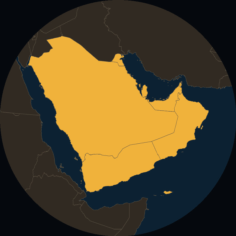
4. Jordan–Saudi Arabia: the notch nicknamed "Winston's Hiccup". The lunch story is legend; the bend comes from the 1925 Hadda Agreement, which left the Wadi Sirhan valley and Kaf on Ibn Saud's side.
3. Bir Tawil: under British rule two lines were drawn here, a straight one in 1899 and a bent one in 1902. Egypt follows the 1899 line and Sudan the 1902 line, because each keeps the Hala'ib coast that way. So Bir Tawil is claimed by no country.
2. Perejil ("parsley" in Spanish), a few hundred metres off Morocco near Spain's city of Ceuta: Moroccan forces landed in July 2002 and raised their flag; days later Spain flew in commandos by helicopter, and the US brokered a return to the status quo.
1. Abu Musa, Greater Tunb and Lesser Tunb: Iran took the Tunbs by force and landed on Abu Musa under a deal with Sharjah, days before the UAE was formed on 2 December 1971. Both still claim the islands; just weeks ago Iran called them "inseparable" parts of its territory, and the UAE answered back.
Sources:
Jordan–Saudi Arabia border: https://en.wikipedia.org/wiki/Jordan%E2%80%93Saudi_Arabia_border · https://richardlangworth.com/stroke-of-a-pen · Hadda Agreement (Qatar Digital Library): https://www.qdl.qa/en/archive/81055/vdc_100079351210.0x000061 · 1965 Jordan–Saudi Agreement (UN Treaty Series vol. 3017)
Bir Tawil and Hala'ib: https://en.wikipedia.org/wiki/Bir_Tawil · https://en.wikipedia.org/wiki/Halaib_Triangle · https://www.meforum.org/articles/other/hot-spot-egypt-and-sudan-wrangle-over-halayib
Perejil: https://en.wikipedia.org/wiki/Perejil_Island_crisis · https://transcripts.cnn.com/show/lad/date/2002-07-17/segment/09 · https://www.rte.ie/news/2002/0717/27740-perejil · https://www.publico.es/actualidad/quince-anos-operacion-perejil.html
Abu Musa and the Tunbs: https://en.wikipedia.org/wiki/Seizure_of_Abu_Musa_and_the_Greater_and_Lesser_Tunbs · https://www.rferl.org/a/iran-persian-gulf-islands-us-seizure/33718108.html · https://www.tehrantimes.com/news/530542/ · https://www.khaleejtimes.com/uae/dr-anwar-gargash-replies-comments-by-khamenei-adviser-3-islands-occupied-by-iran · https://gulfnews.com/uae/gargash-rejects-velayati-criticism-of-uae-position-on-three-islands-1.500697675
Satellite imagery: Sentinel-2 cloudless 2025 - https://s2maps.eu by EOX IT Services GmbH (Contains modified Copernicus Sentinel data 2025).
Borders: Natural Earth (public domain); Hala'ib outline © OpenStreetMap contributors (ODbL).
Borders also © OpenStreetMap contributors (Ceuta outline, ODbL). Flags: Wikimedia Commons (public domain); plain colour bands for Spain and Iran.
Pen, parsley, helicopter, signpost and soldier: AI-generated props (illustrations, not photos).
Voice, music and sound effects: ElevenLabs and the channel's own sound library.
New map Short every day.
Four Arab borders that defy logic and common sense.
From the "Winston's Hiccup" notch to the disputed islands near the Strait of Hormuz, these lines in middle east geography are often nonsensical. We examine the history behind these border disputes and why nations still fight over the same territorial claims.
Subscribe for a new map-based explainer every week.
#weirdborders #arabworld #geography
#usa
التعليقات
0تسجيل الدخول لتتمكن من التعليق.
لا توجد تعليقات بعد.